LiDAR
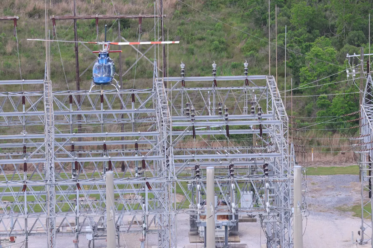
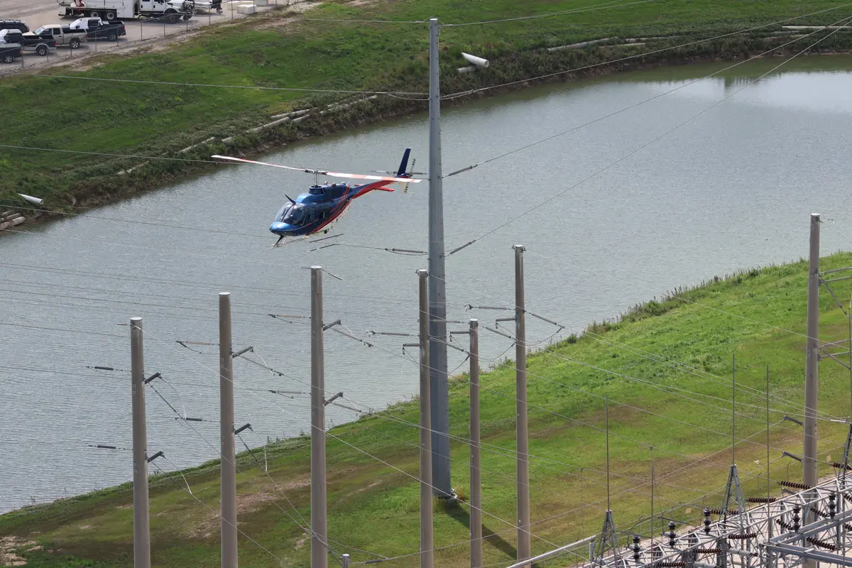
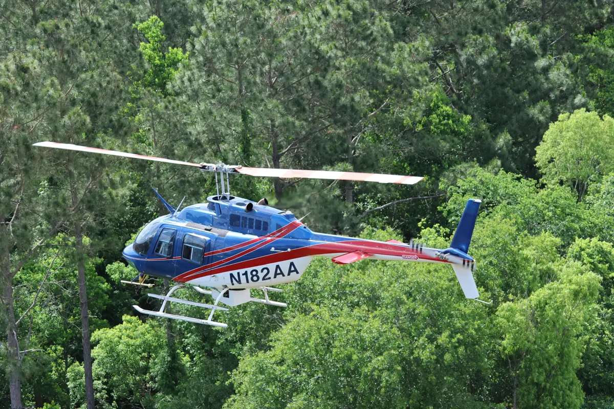
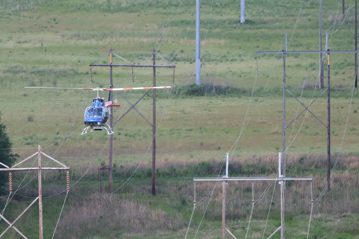
Industrial Helicopters provides high-precision aerial LiDAR services as part of a broader utility services platform, supporting transmission and distribution systems across large geographic footprints. We deliver safe, consistent, and repeatable data acquisition that integrates directly into utility engineering, vegetation management, and asset management workflows.
We work alongside leading LiDAR processing and analytics providers, serving as the aerial data acquisition layer within the utility ecosystem. Our operations ensure efficient, high-quality data capture that supports downstream analysis and informed decision-making across the utility lifecycle.
Ready to Capture Your Utility Corridor?
Get high-precision aerial LiDAR data acquisition built for transmission, distribution, and vegetation management workflows. Our team delivers the safe, repeatable capture your downstream analytics partners need.